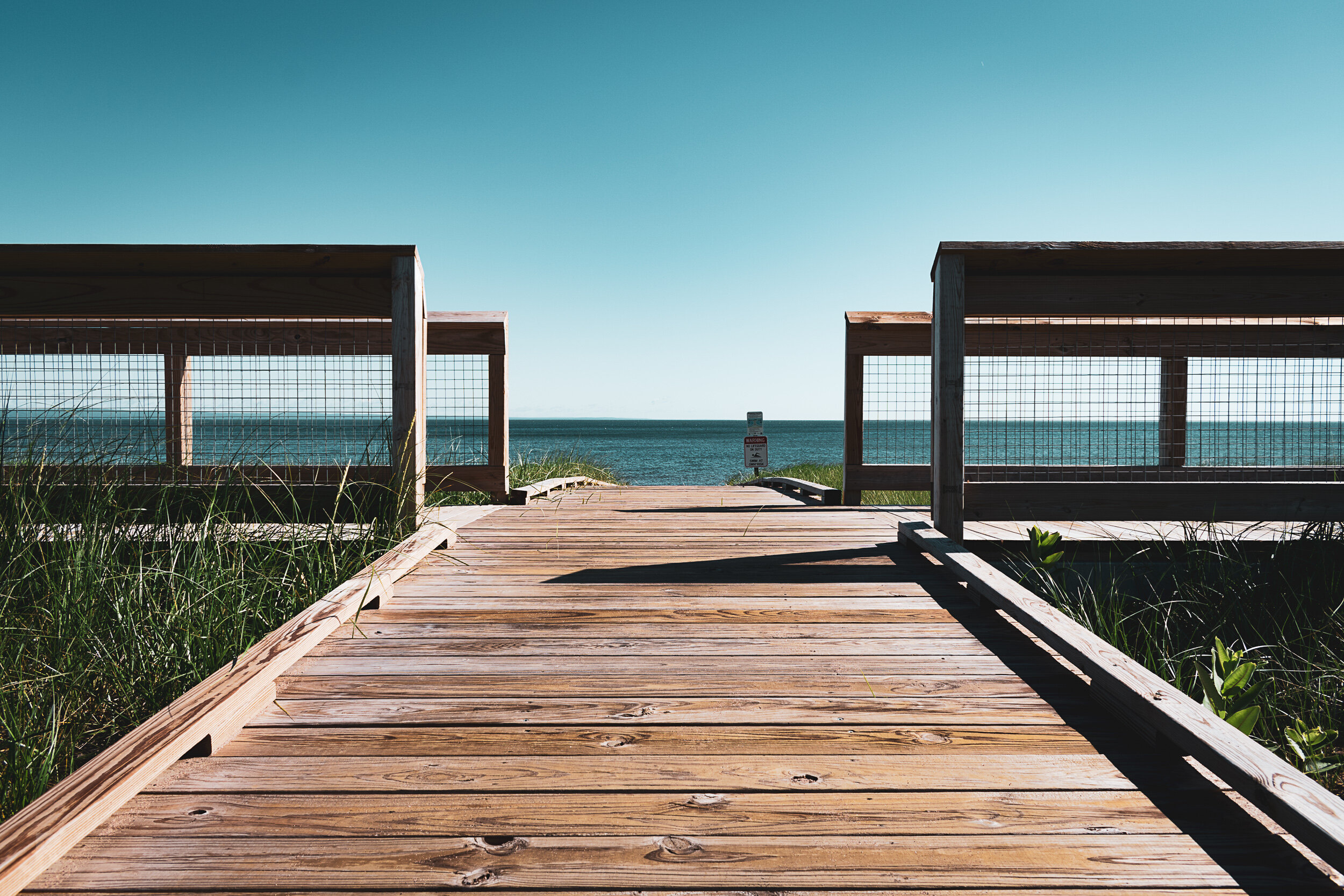
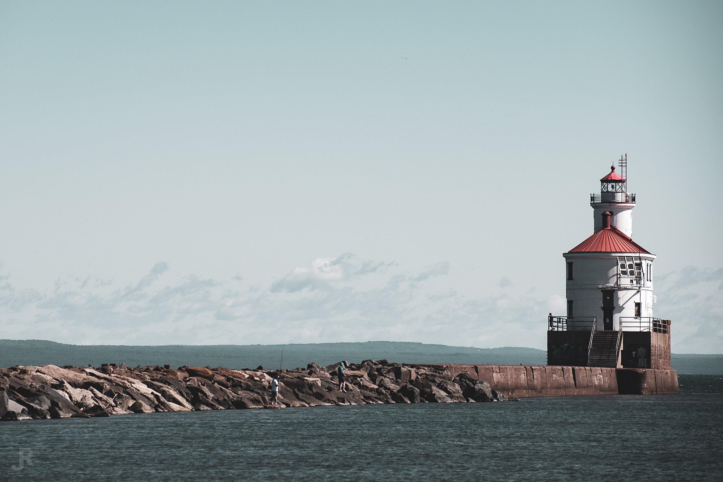
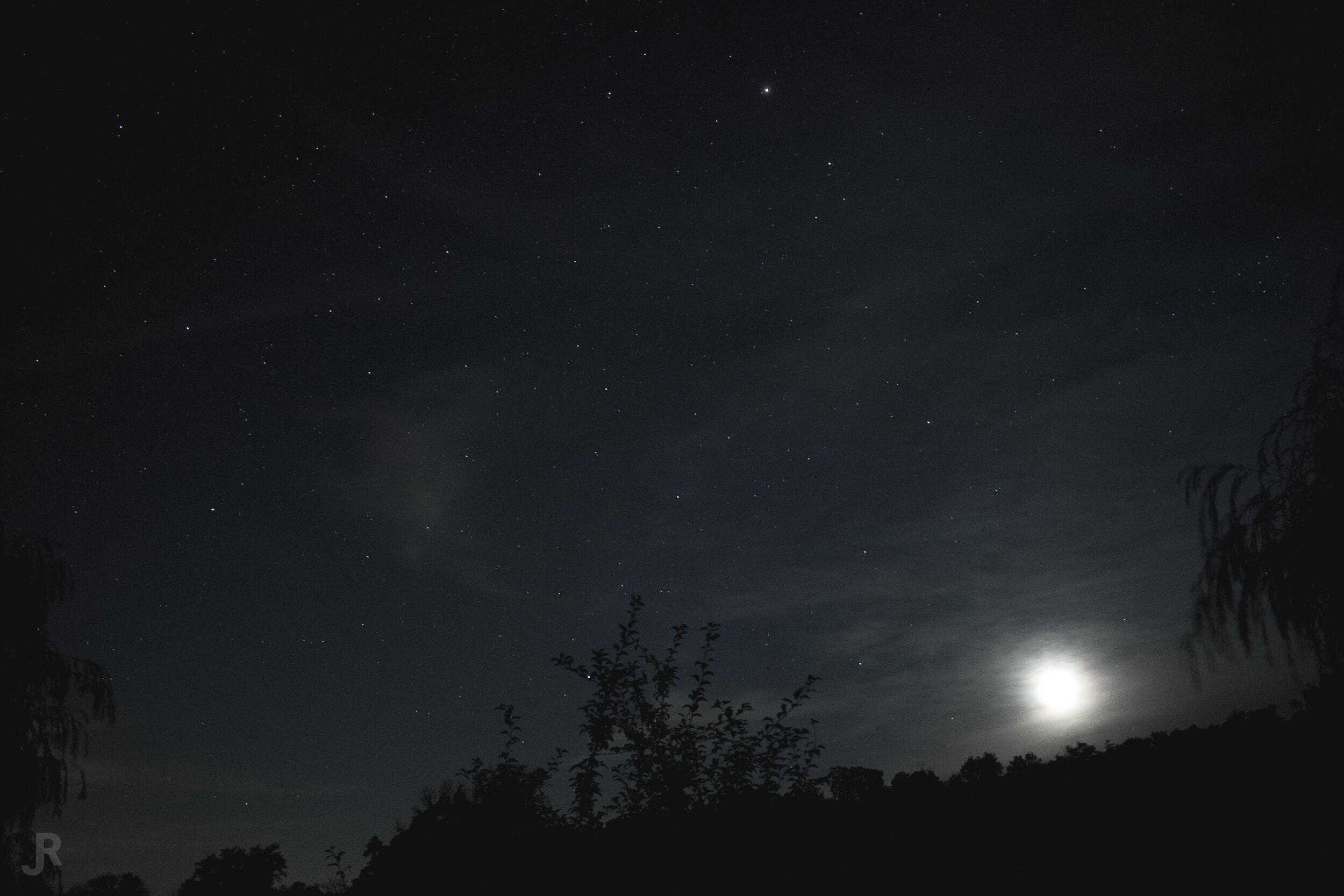
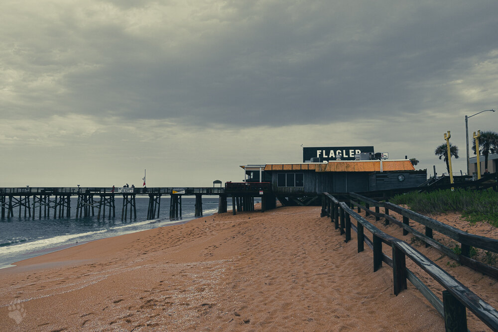
Map of the States I’ve shot photos in, each State I have visited is filled in with my favorite photo I took while there. I’ve also included the Great Lakes, Gulf of Mexico, and the Atlantic Ocean via images taken of/across each of them.

I made this chart of the National Parks in the US because I’d like to visit them all. I used semi-transparent stock images from Wikipedia to fill them all in, and as I visit each one I will add my own photo at full opacity to mark it off the list.
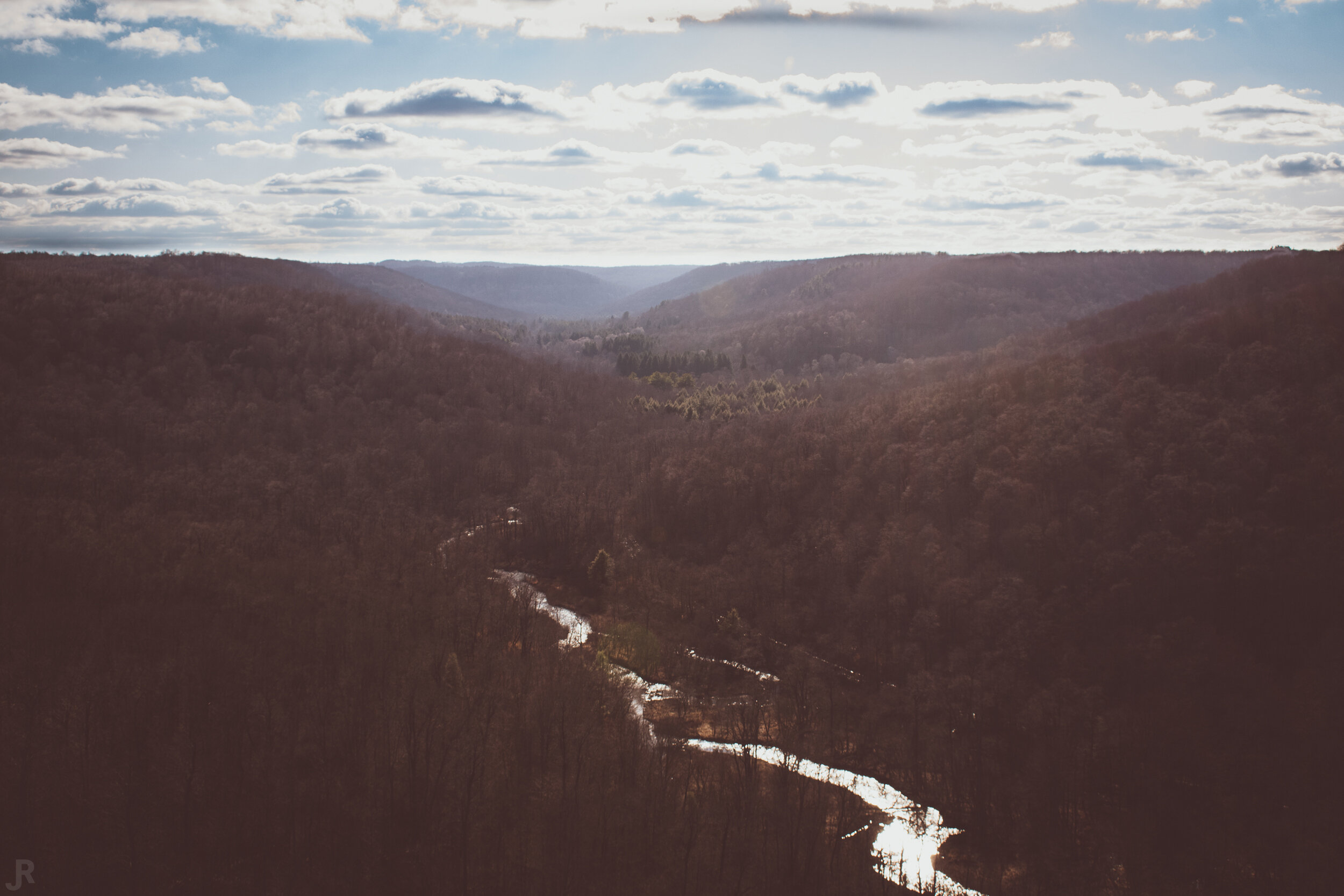
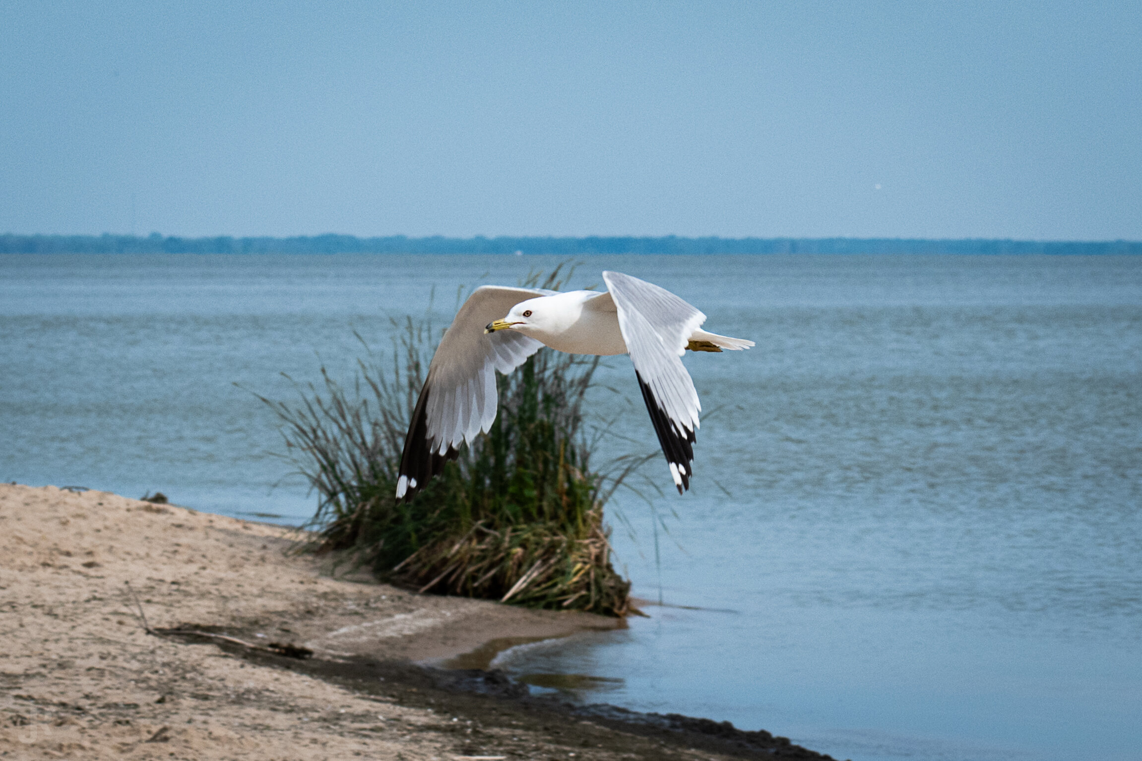
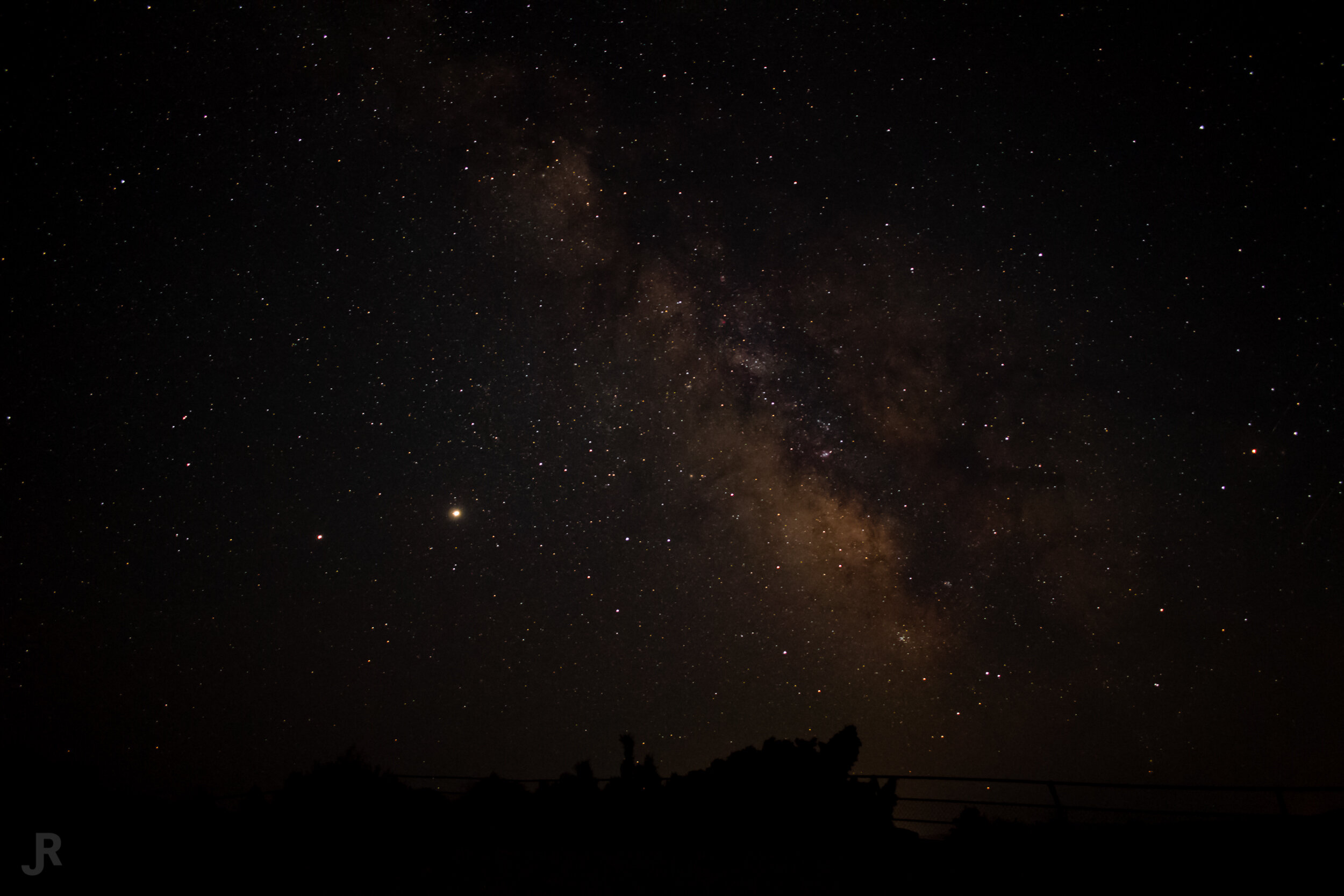
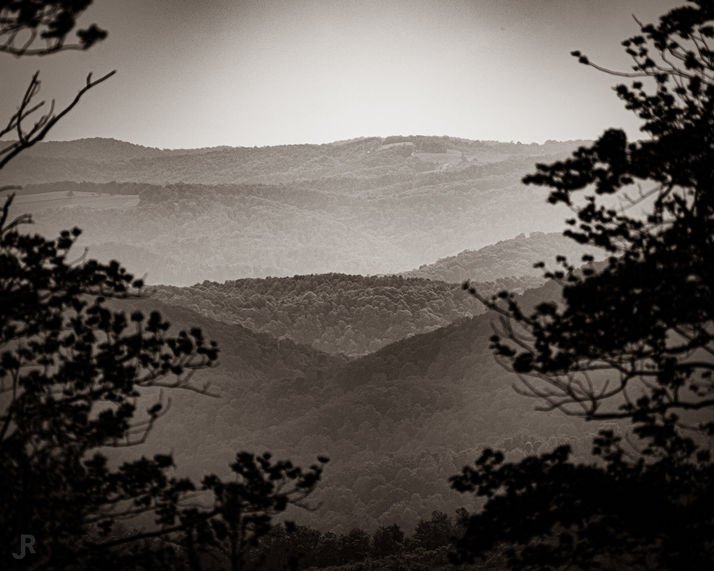
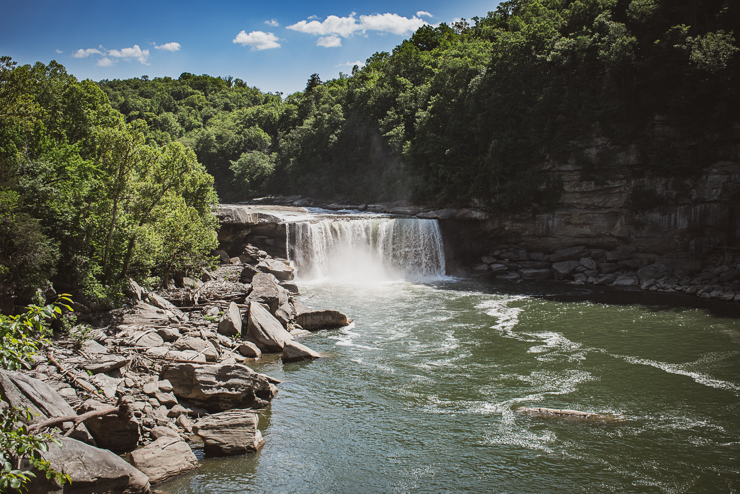
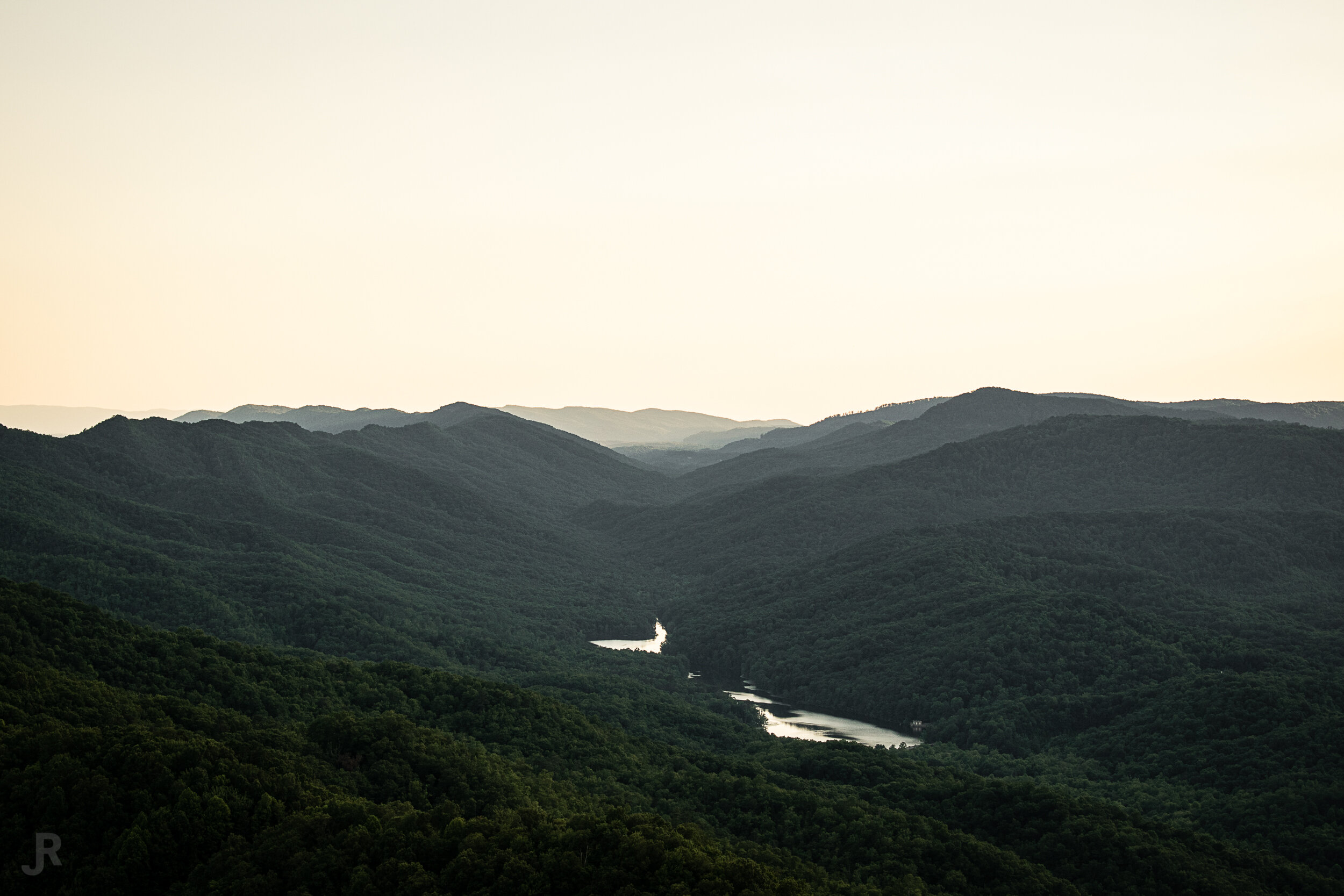
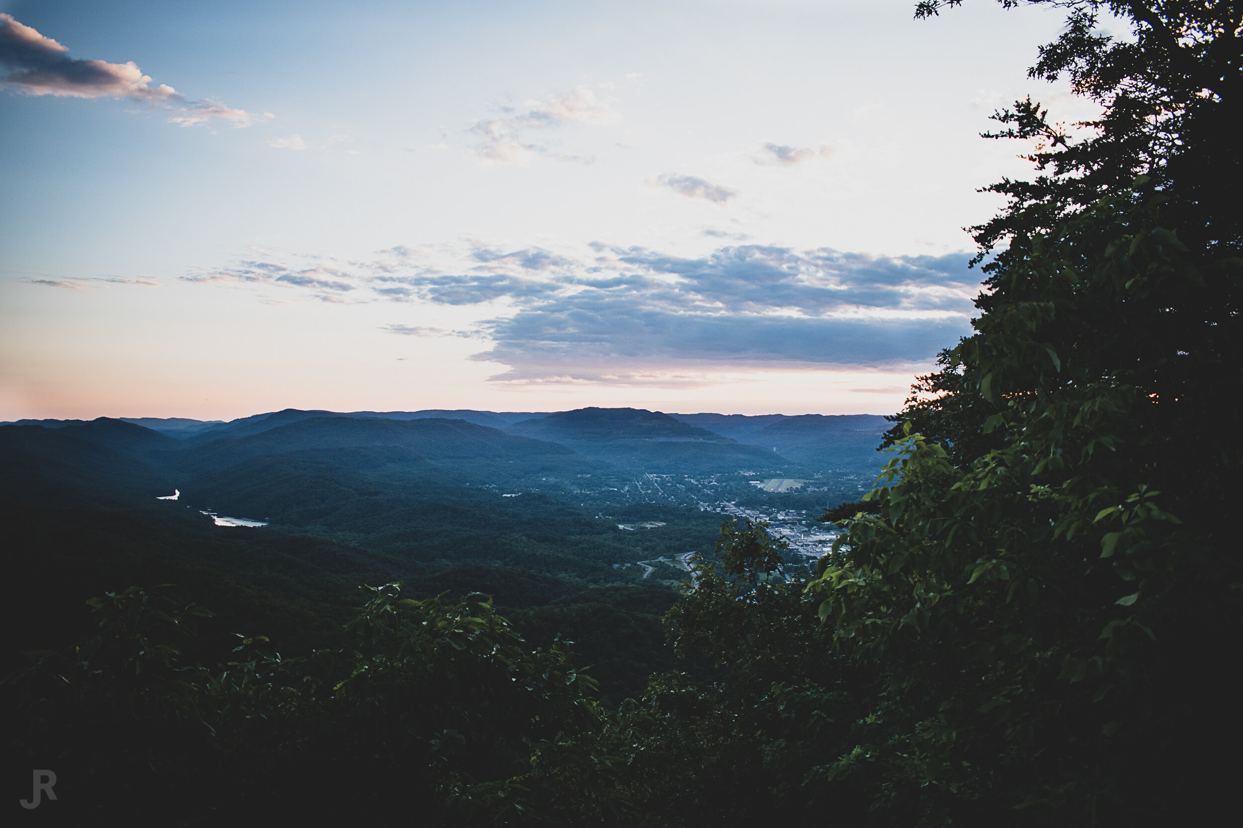
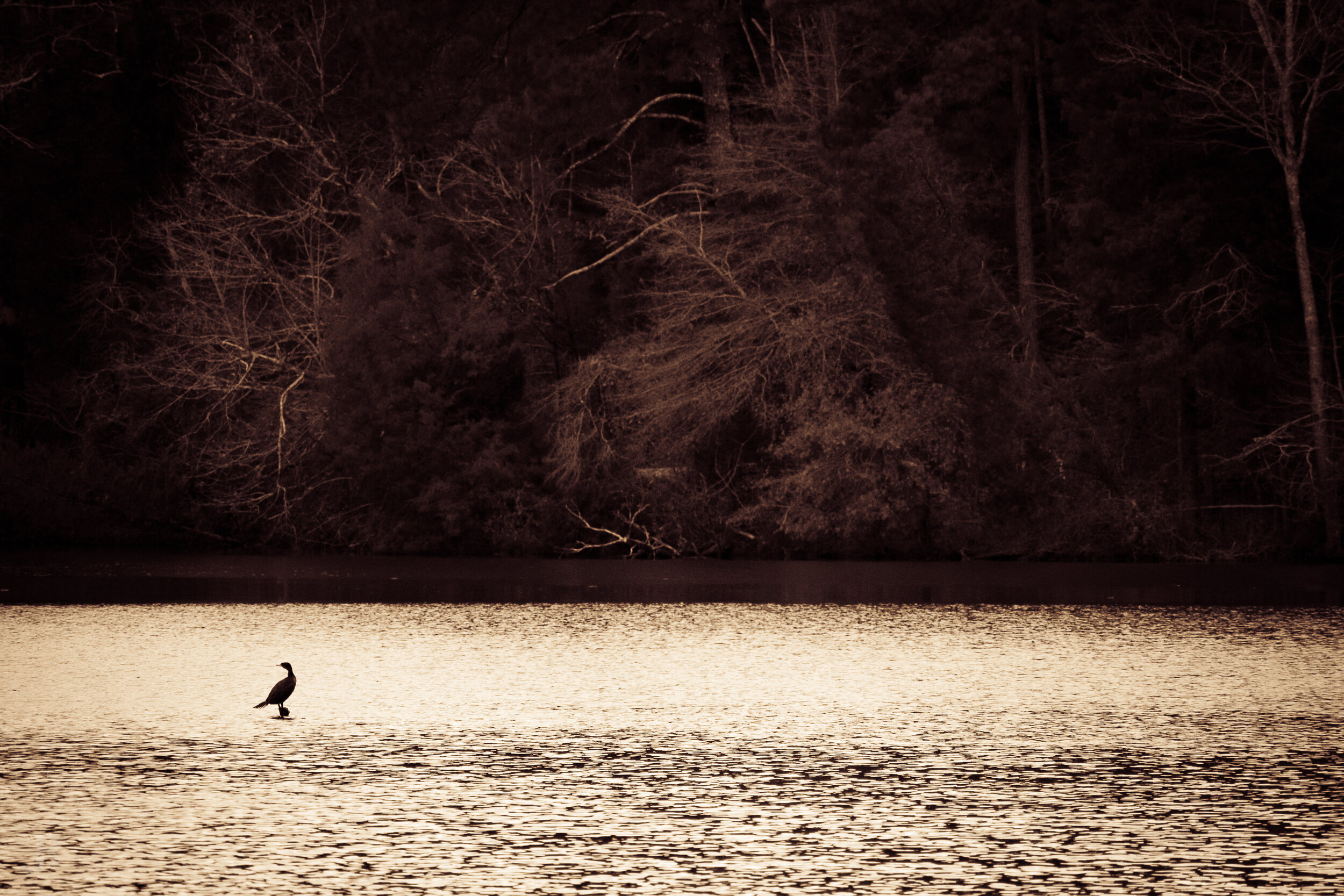
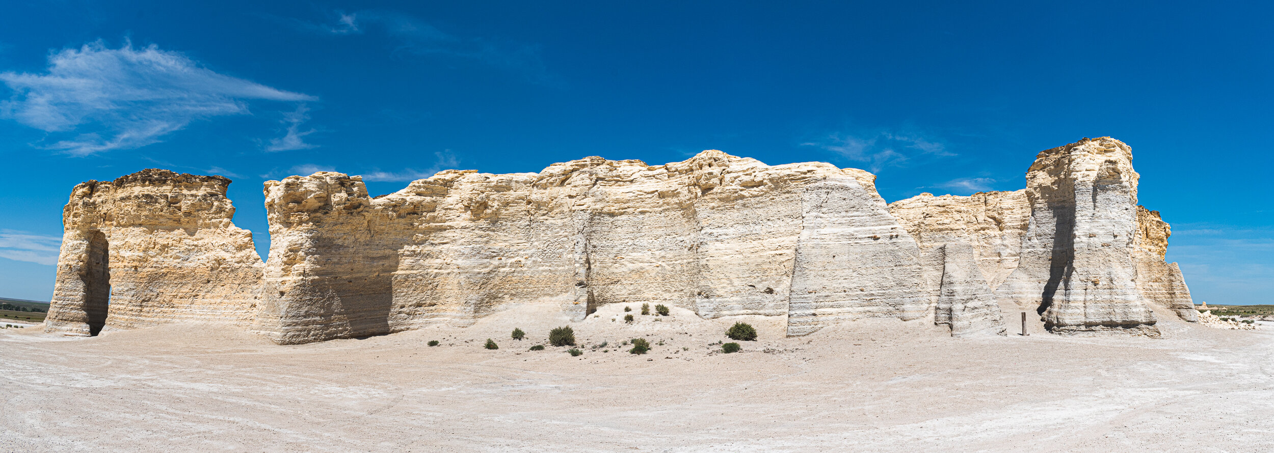
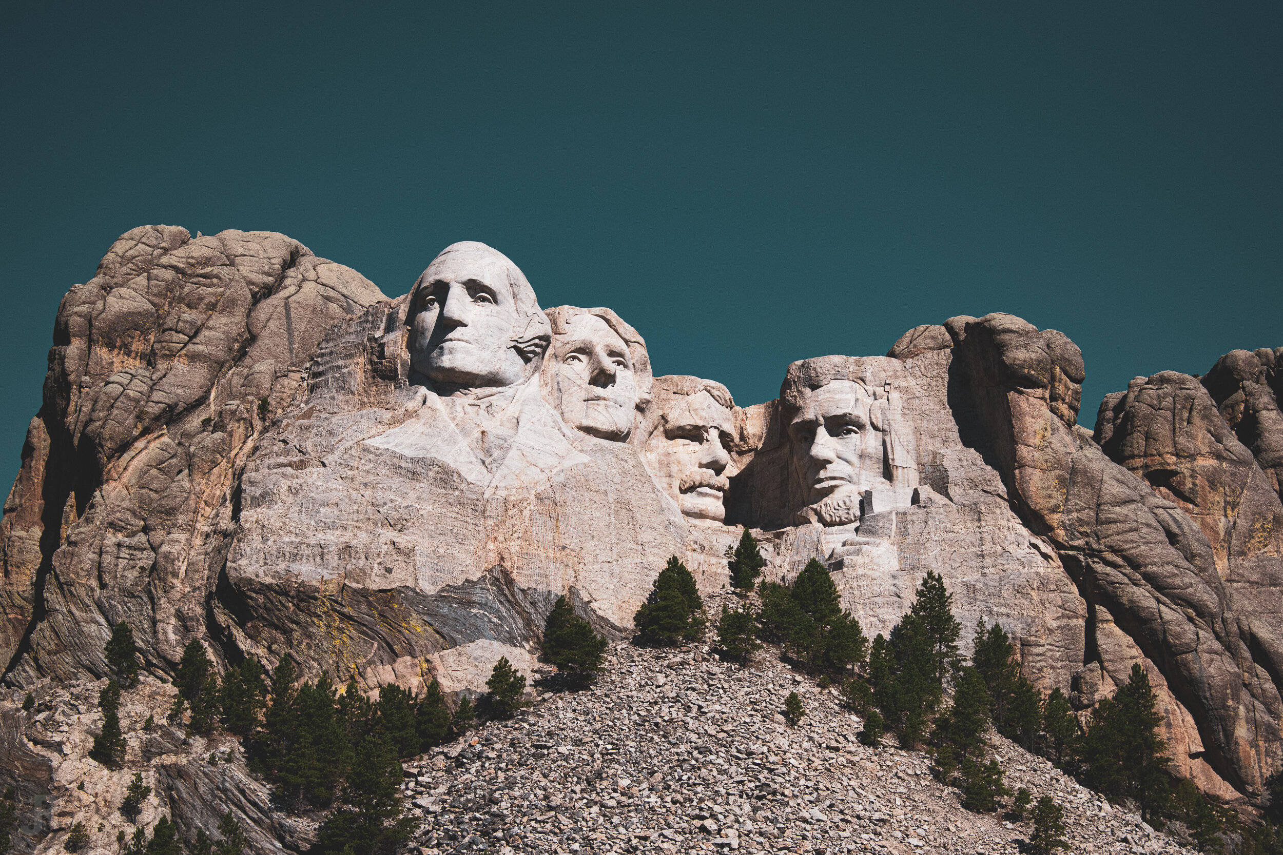
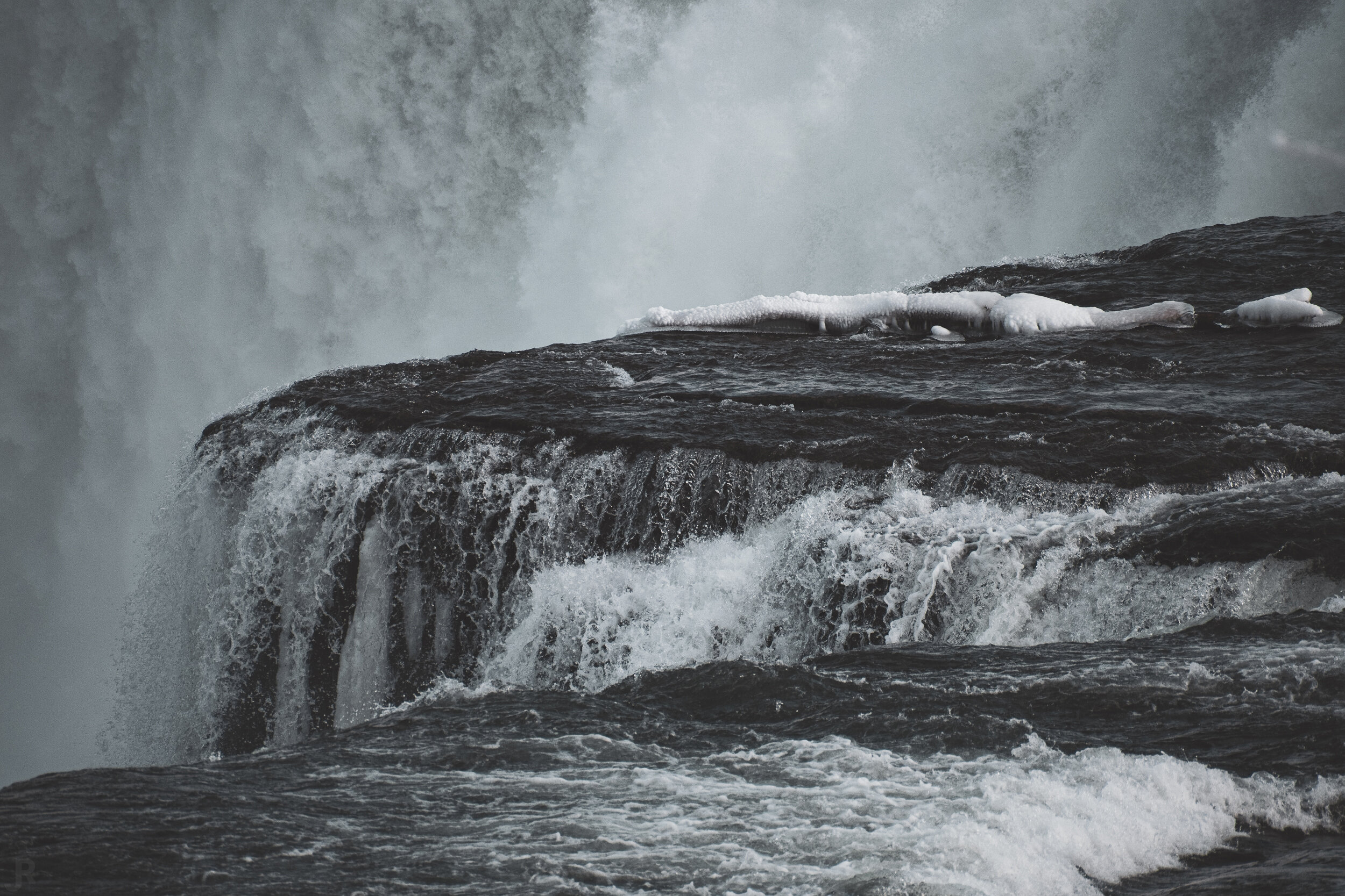
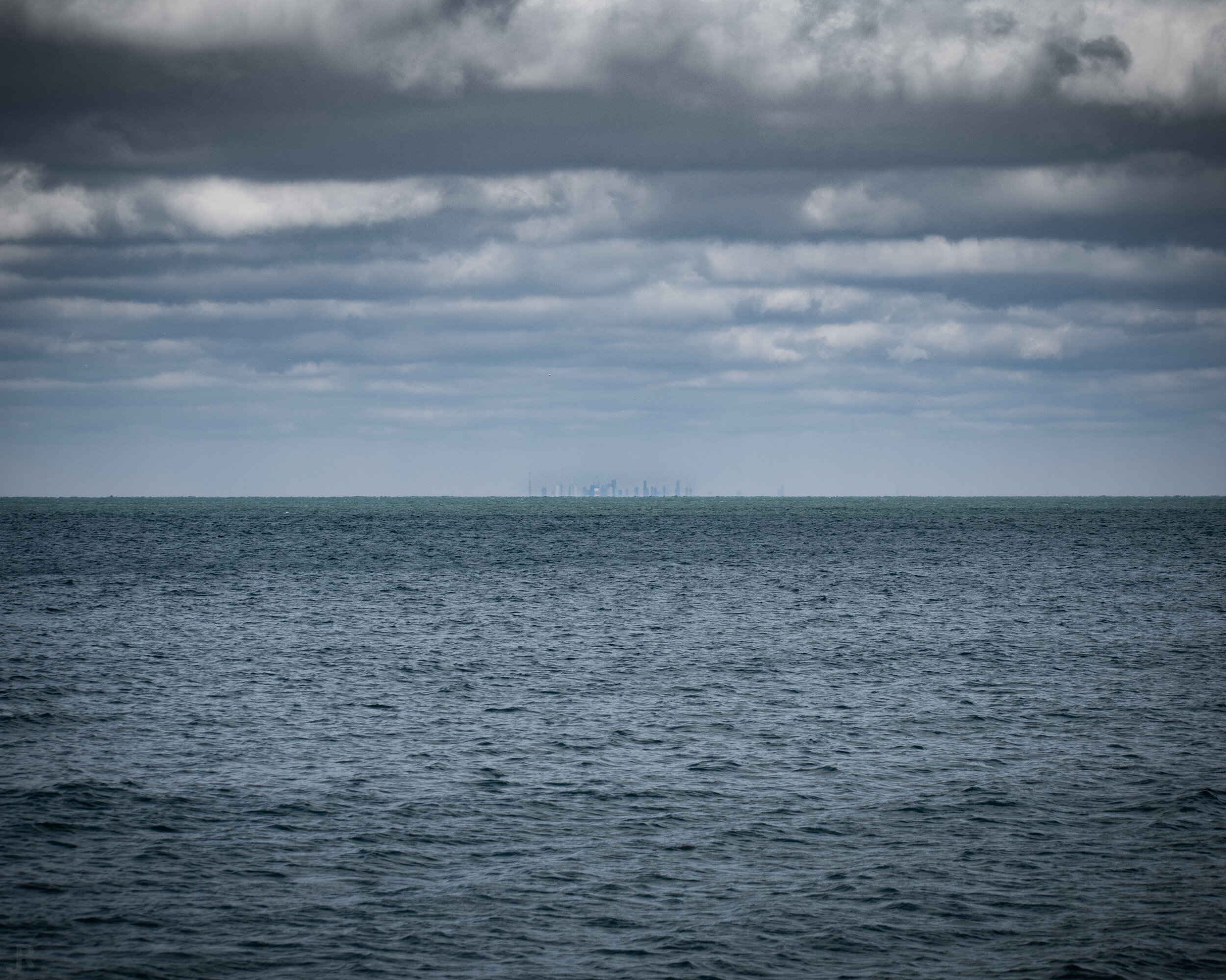
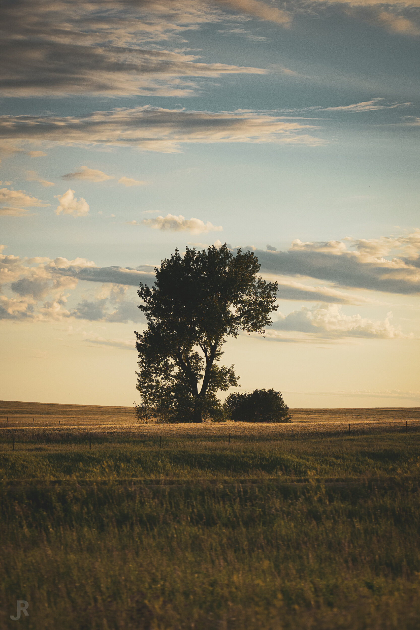
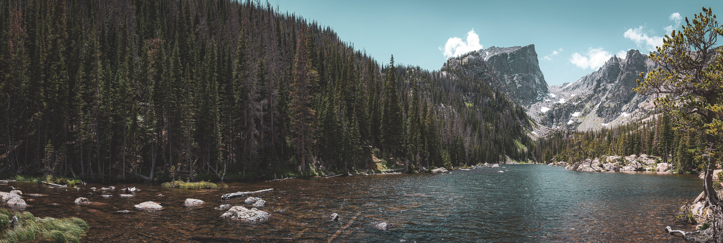
Travel Log Gallery